tim

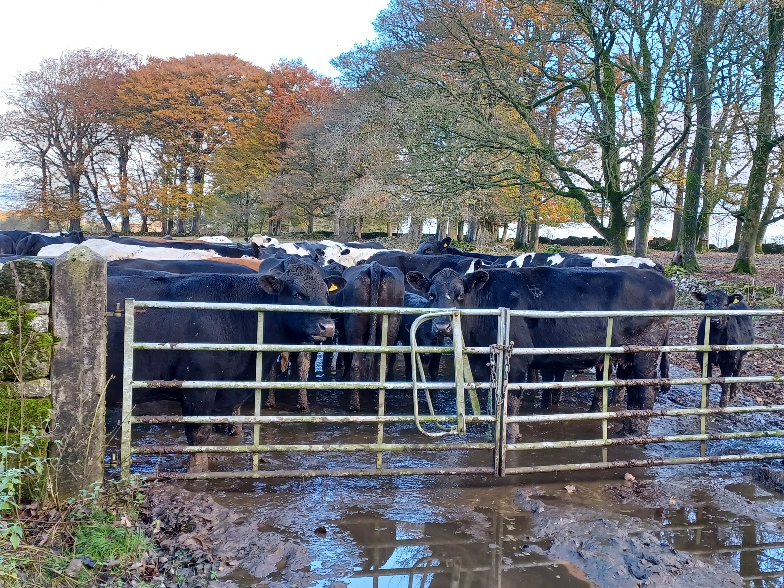
A herd of bloack and white dairy cows behind a gate, waiting to be milked
tim

Walk 10 - Parsley Hay to Friden

Today's walk is the last in this series. Thank you to everyone who has donated to Lymphoma Action. At the time of writing, these walks (and one cycle ride) have raised a brilliant £275. If you'd still like to donate you can do - simply…

Continue reading...
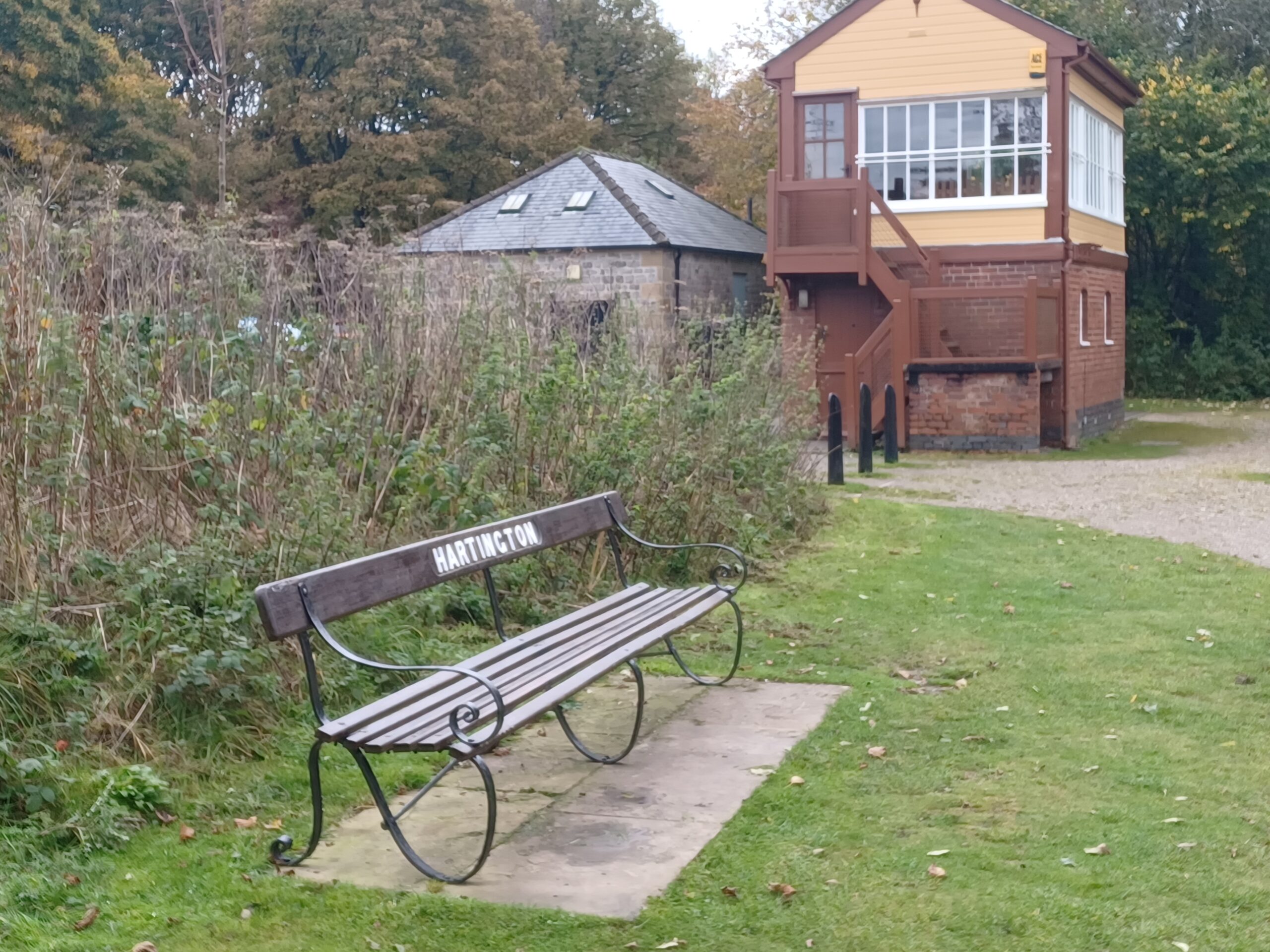
In the foreground is a typical station bench, with a Hartington sign. In the background is the preserved brown and cream Hartington signal box
tim

Walk 9 - Ashbourne to Parsley Hay

Yesterday's walk was along the Tissington Trail. Opened in 1899, it was the last complete railway built in Derbyshire. Although Peak District tourists loved the line, the local population and businesses were too small to support it. By the mid 1950s scheduled passenger services were…

Continue reading...
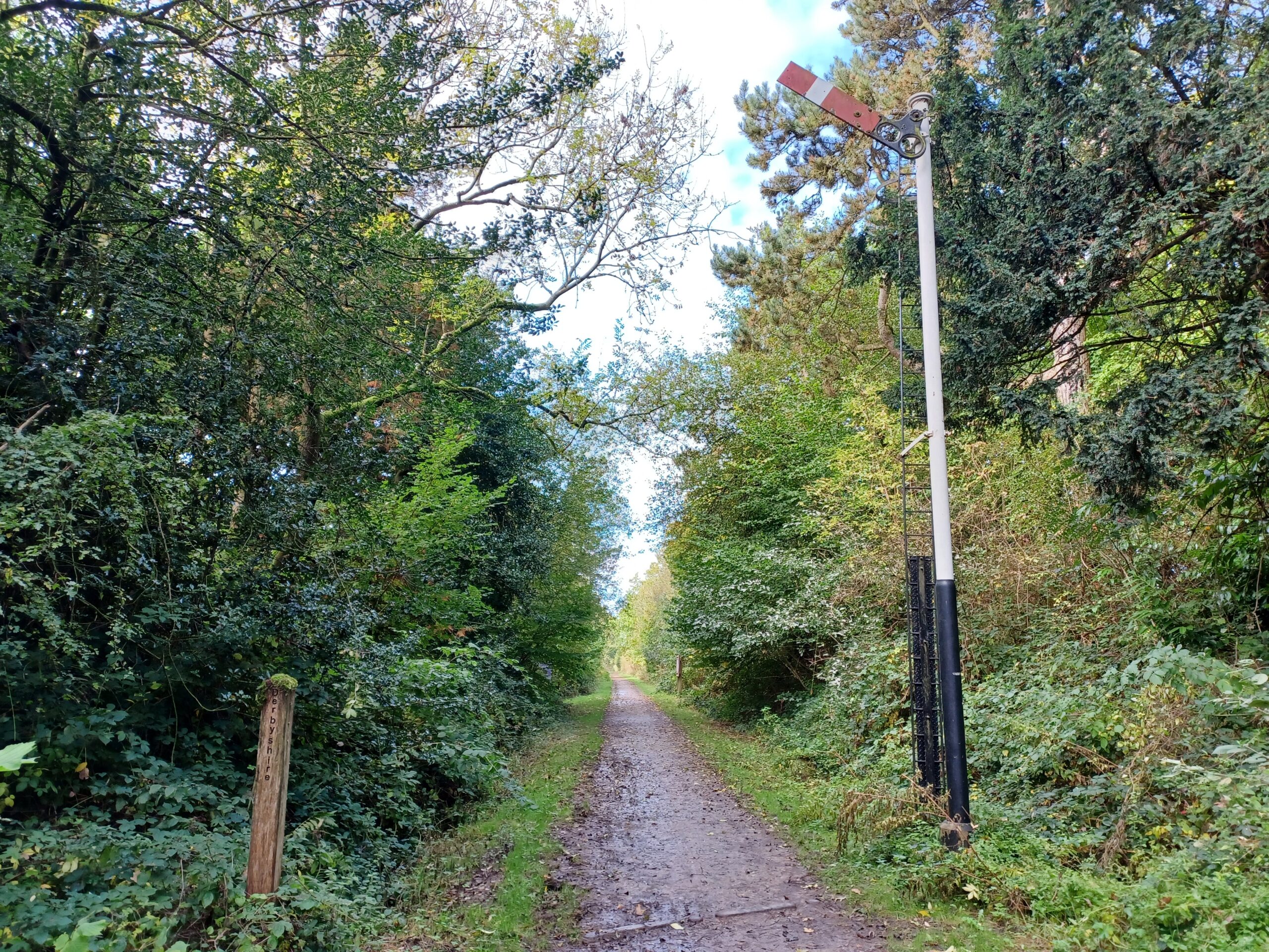
On the right there is an old red and white railway signal, raised. on the left there is a wooden post, marking the boundary between Nottinghamshire and Derbyshire.
tim

Walk 8 - Brierley Forest Park to Tibshelf

Yesterday's walk started at Brierley Forest Park (on the site of the former Sutton Colliery) and took in two of the Phoenix Greenways - the Brierley Branch and Silverhill Trail - en-route to just west of Tibshelf. There's a visitor centre at the start. From…

Continue reading...
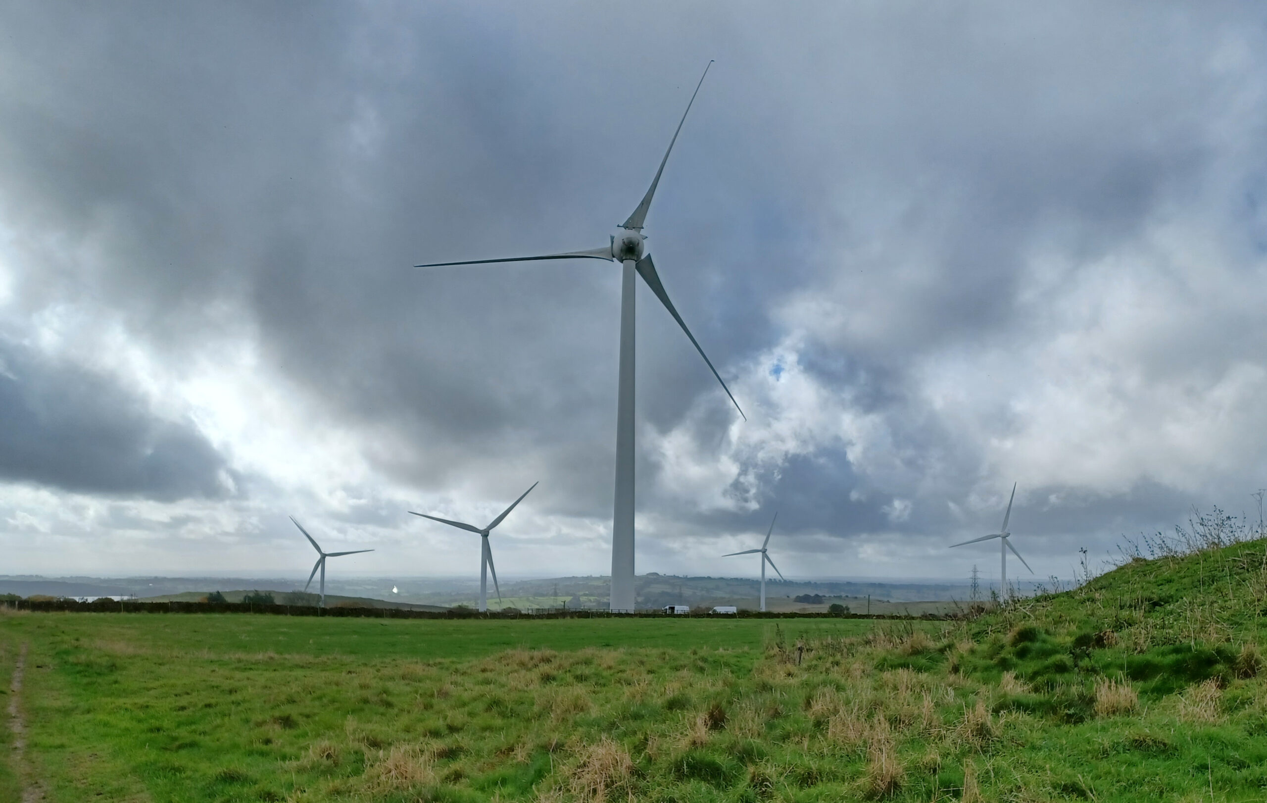
Five wind turbines against a cloudy grey sky. In the left hand side background you can just make out Carsington Water.
tim

Walk 7 - Middleton Top to Hopton Top

Yesterday's walk followed a circular route around Middleton Top, Middleton Moor and Hopton Top, so only the last couple of kilometres followed the High Peak Trail. I had a special guest with me yesterday to guide me through the cow and sheep dung and to…

Continue reading...
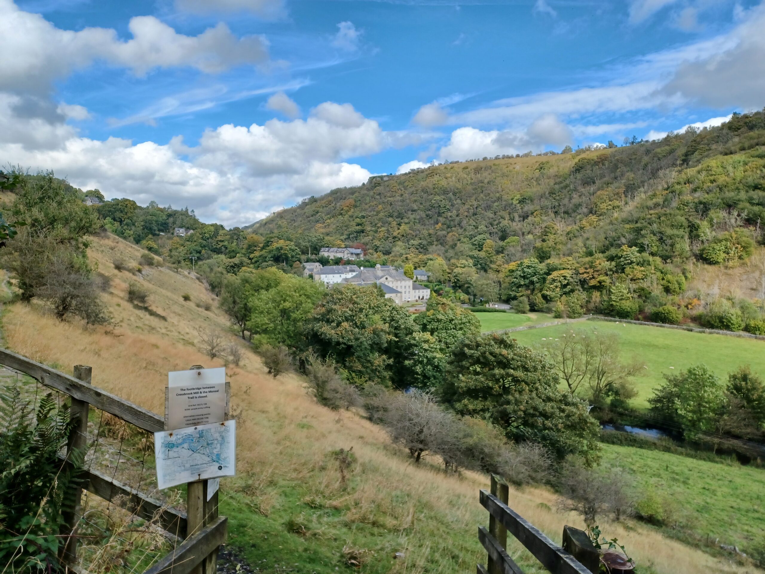
The view towards Cressbrook Mill taken from the Monsal Trail
tim

Walk 6 - Monsal Head to Wyedale

Yesterday I returned to walking after my hiatus due to holiday. This route completes the second half of the Monsal Trail between Monsal Head and Wyedale. The National Library of Scotland have a beautiful map from 1899 showing the parish boundaries in colour - my…

Continue reading...