

Yesterday’s walk followed a circular route around Middleton Top, Middleton Moor and Hopton Top, so only the last couple of kilometres followed the High Peak Trail. I had a special guest with me yesterday to guide me through the cow and sheep dung and to make sure that I didn’t wander off the path to my certain death by exposure, plunging down a disused lead mine shaft or into a long abandoned quarry. Look at the map from 1884 and you’ll see what I mean …
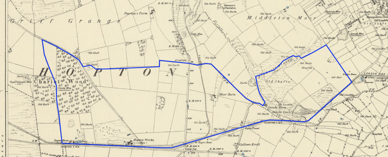
Setting off from the Engine House at Middleton Top (this is where walk 3 finished), we headed up the footpath towards Middleton Moor. On a clear day there are fantastic views towards Derby from here, but the gloom and murk yesterday morning made them far less attractive. From there we skirted around old mine workings and quarries to reach an abandoned (but recently purchased) set of farm buildings at Intake Barn. It’s possible to cut back to the High Peak Trail from here, but we carried on towards the site of the old tramway bridge near Armlees. It’s very well preserved – probably due to the immense care that seems to have been taken when it was built. Here’s Jane pointing out the finer details of its construction for you.

Approaching Chariot Woods there was a planning notice on the footpath dated February, saying that the owner wanted to divert it away from the dangerous quarry edge. We took the notice at face value and followed the proposed diversion, only to find that it hadn’t been finished (or even started). We ended up in a field of rather confused sheep and climbing over a locked gate to regain the route.
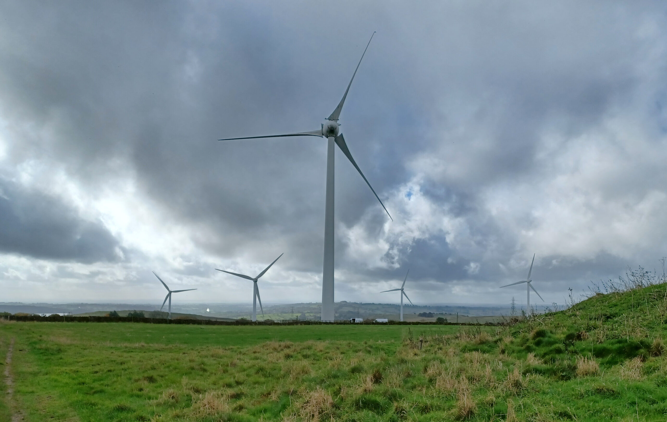
A little further along there’s a view towards Carsington Water framed by some majestic wind turbines.
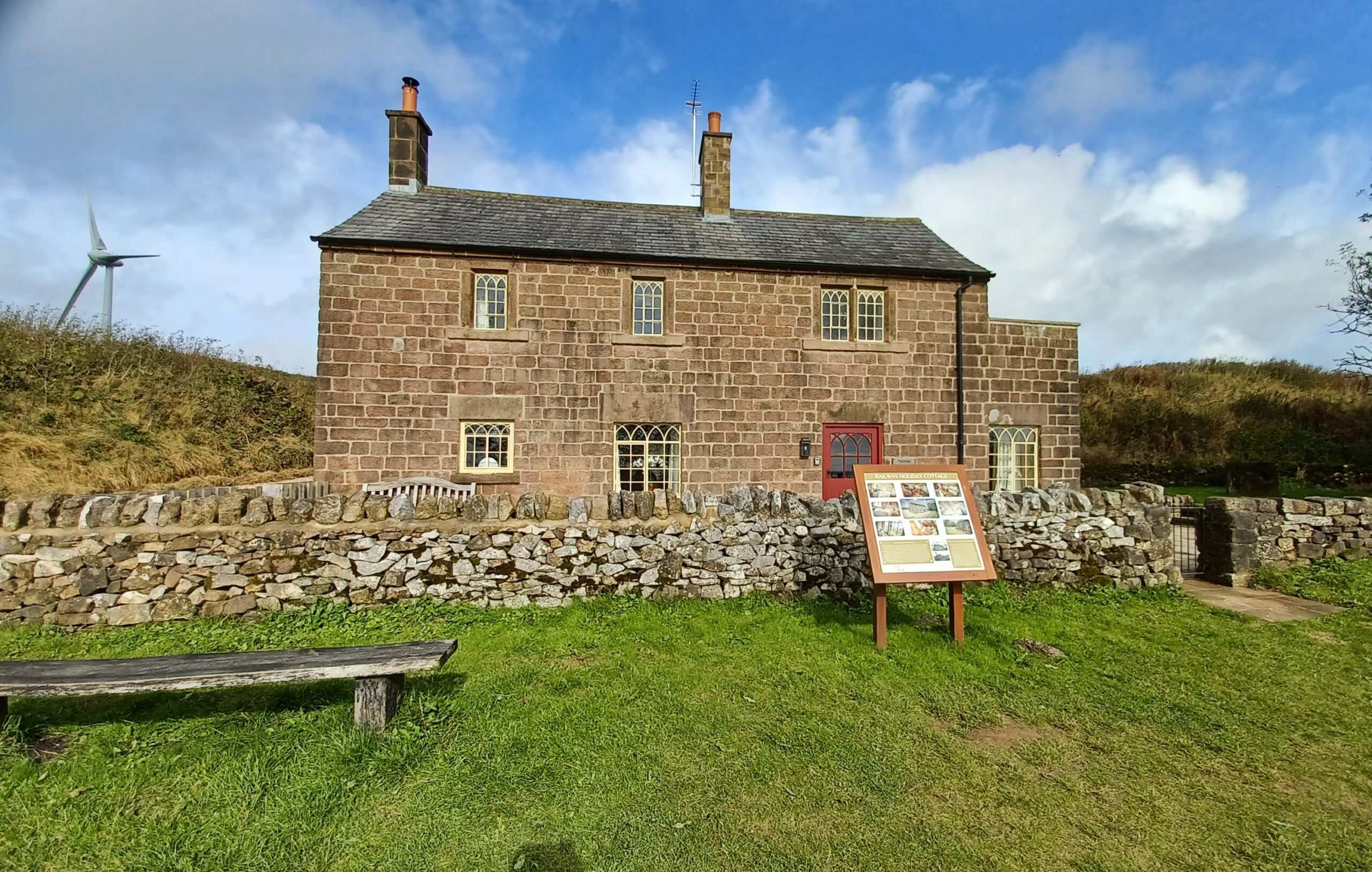
The weather still looked rather threatening, so we headed down the hill to join the High Peak Trail. We arrived at a former railway building, converted into a holiday let, just before the start of the Hopton Incline. This incline is mild (compared to the ones I tackled earlier in September) at 1 in 14, and we were walking down it. It used to be the steepest incline on the British Railways network that trains tackled ‘under their own steam’. I can’t imagine it was very easy in bad weather … or even in the reasonably good weather we now had as the sun had finally appeared.
We headed down the incline, through the Hopton Tunnel and back to the visitor centre at Middleton Top. Walk finished – 7.03km, 10,285 steps, 2 hours, 22 minutes, 51 seconds.
If you enjoyed reading this, please consider making a donation to Lymphoma Action. Thank you for your support!