

Yesterday’s walk was along the Tissington Trail. Opened in 1899, it was the last complete railway built in Derbyshire. Although Peak District tourists loved the line, the local population and businesses were too small to support it. By the mid 1950s scheduled passenger services were halted, with the line finally succumbing to Beeching’s axe in 1967.
The round trip between Ashbourne and Parsley Hay is a little over 26 miles. A marathon! Needless to say I didn’t walk … I cycled instead. It’s about 20 years since I last sat on a bike, let alone tried to ride one. After a very shaky start I rode around 300m before having to get off and push it down a steep slope to a bridge over a river. This was necessary as the viaduct that used to stand there collapsed in 1980 when undergoing maintenance.

The trail is uphill for the first 8 or 9 miles (albeit at a gentle gradient of about 1:100), so I stopped for refreshment at Tissington Station after half an hour. My arsenal (to quote my ‘phones autocorrect) was already starting to hurt. There must be a better bike seat design somewhere, surely?!
The best views from the trail are between Tissington and Hartington. I was fortunate to have good weather. The day before, in torrential rain, the bike hire people had told me that the only sale they’d made was for a car parking season ticket.
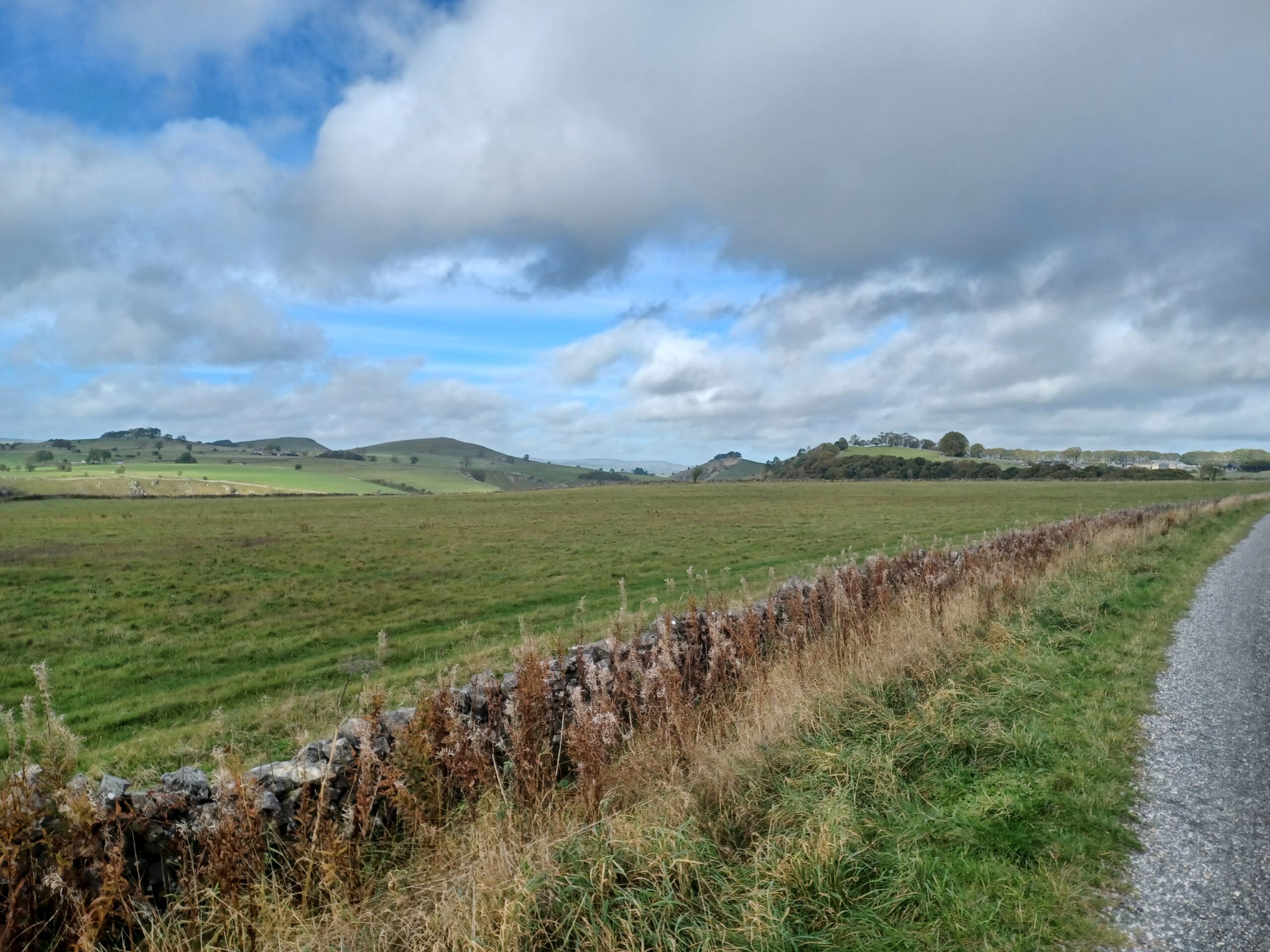
The cafe at the bottom of Hartington signal box was closed, but I was hopeful that two miles further along at Parsley Hay, refreshments would be available.

It had taken me about 2 hours to reach Parsley Hay, where I was pleased to find more refreshments were indeed on offer. There’s clearly something about cycling that makes me really hungry all of the time. The cafe had a glacially slow queue, but the gluten-free fruit toast was worth the wait.
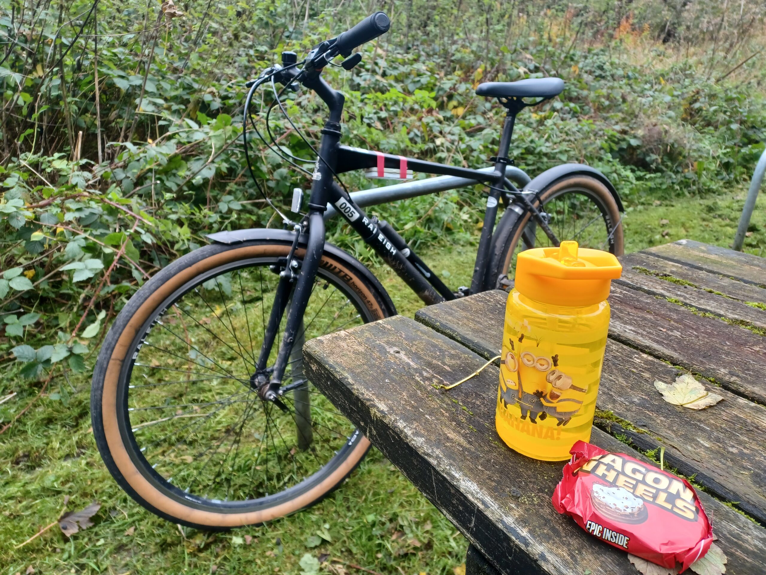
Heading back towards Ashbourne the weather changed. There are signs everywhere warning you that when the weather does change in the Peaks, it can do so both rapidly and lethally. I wasn’t too worried as I had my waterproofs and some emergency rations (an elderflower drink in a Minion’s bottle and a wagon wheel) but I was glad to be heading downhill.
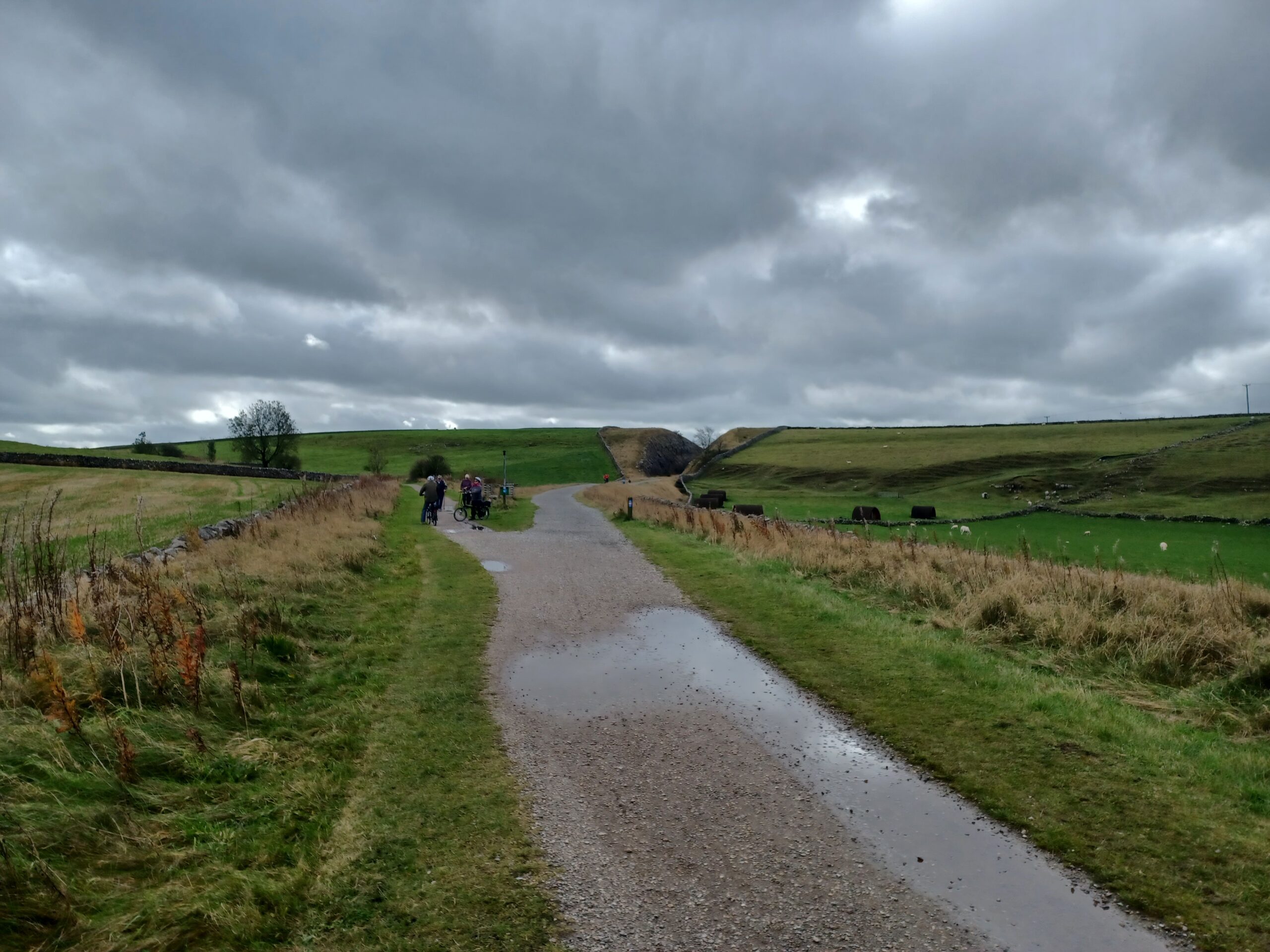
By the time I’d reached Alsop en le Dale station the weather had improved. I decided to consume my emergency rations, figuring out that even if I got a puncture or the chain snapped, I could freewheel the bike back.
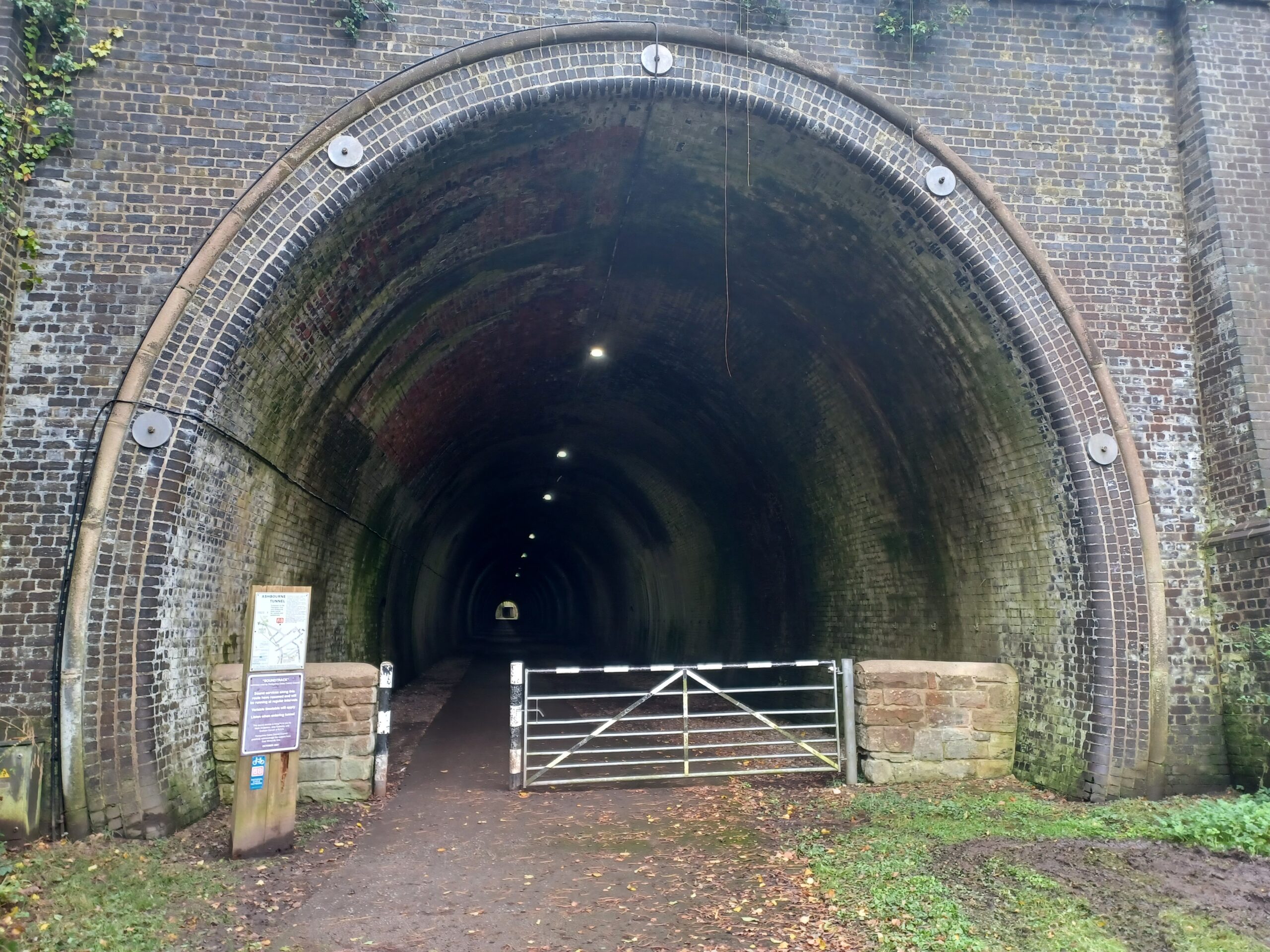
Back in Ashbourne the sun was shining. I returned the bike and had a quick look at the tunnel that used to lead to the main station.
My sore arsenal testifies that I rode 41.86km in 3hrs 34m 26s at an average speed of 11.7 km/h.
If you enjoyed reading this, please consider making a donation to Lymphoma Action. Thank you for your support!