

Yesterday I returned to walking after my hiatus due to holiday. This route completes the second half of the Monsal Trail between Monsal Head and Wyedale. The National Library of Scotland have a beautiful map from 1899 showing the parish boundaries in colour – my route (in orange) passed through five.

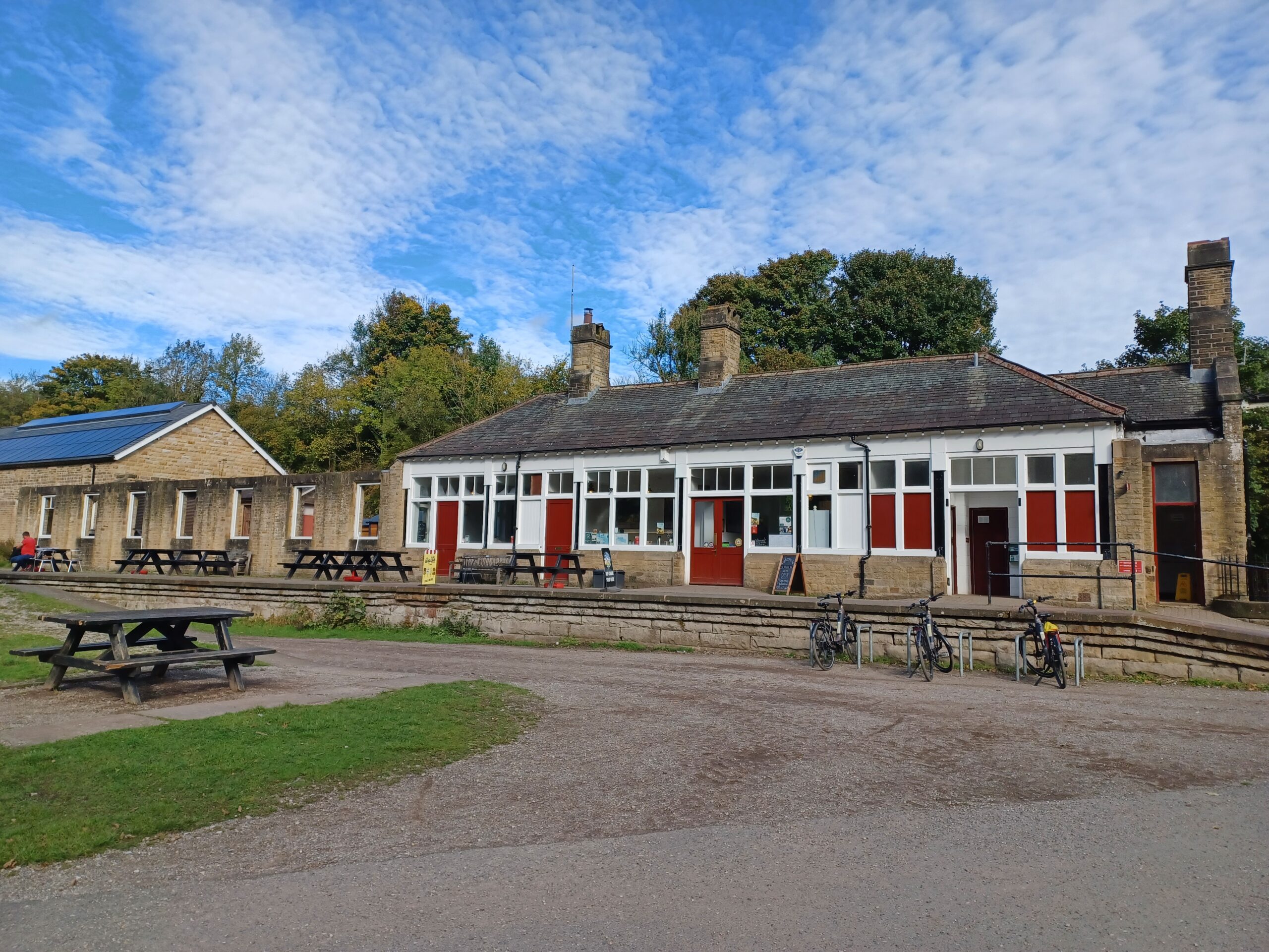
Like walk 5, I started roughly in the middle (for parking and refreshment reasons) at the enormous Miller’s Dale station. National Highways are currently carrying out repairs to the (closed) second viaduct at the station (built 1904) but everything else is open as usual. After spending the last couple of weeks in Spain the sunny weather was welcome – but it felt really cold!
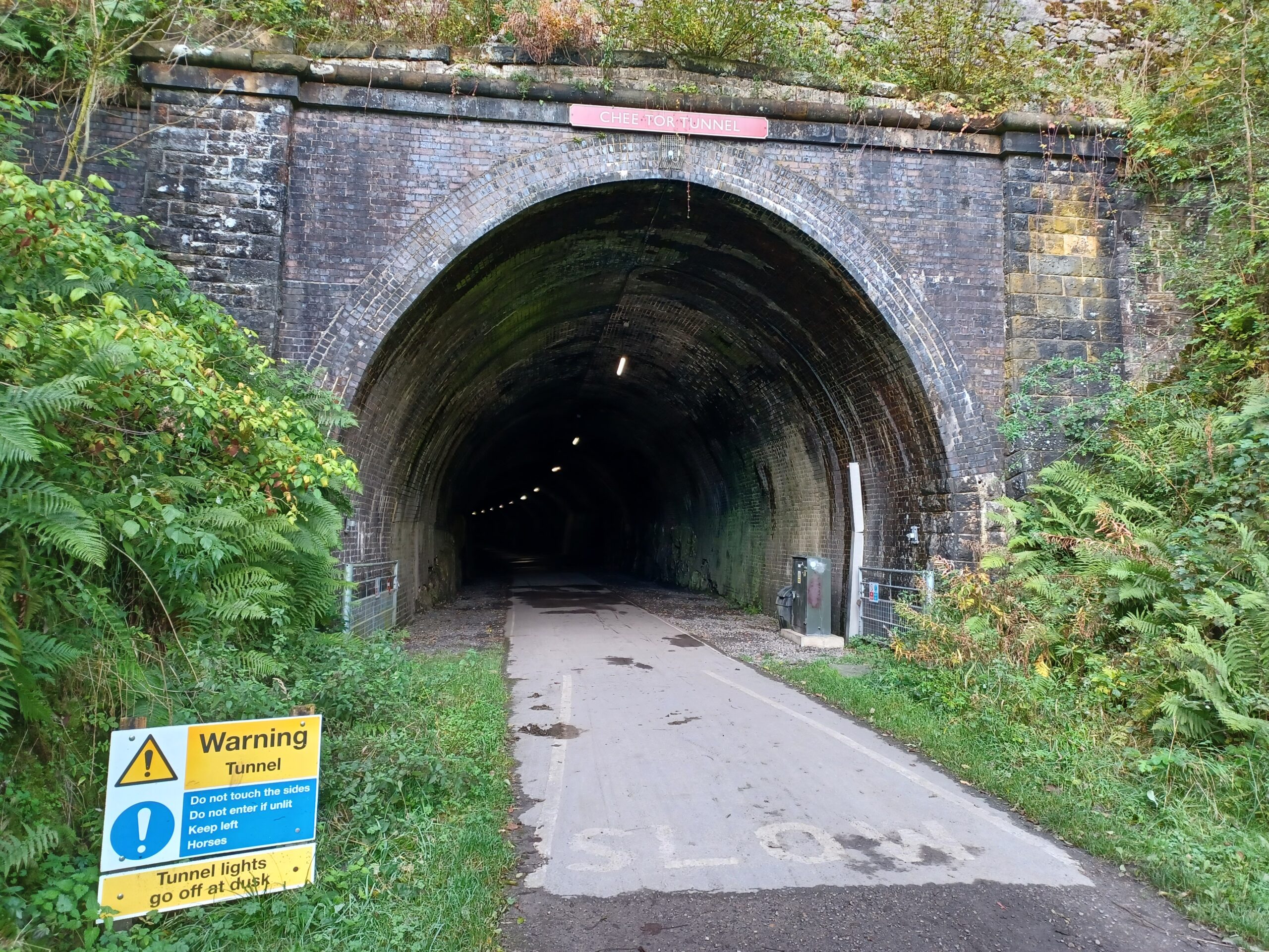
Setting off, I headed West towards Wyedale. There are three tunnels on this stretch of the route. The first is the longest – Chee Tor Tunnel (366 metres). It’s built in the same way as the Headstone Tunnel from walk 5 and is equally impressive. A short bridge separates this tunnel from Chee Tor No.2 Tunnel (a tiddler at just 86m).
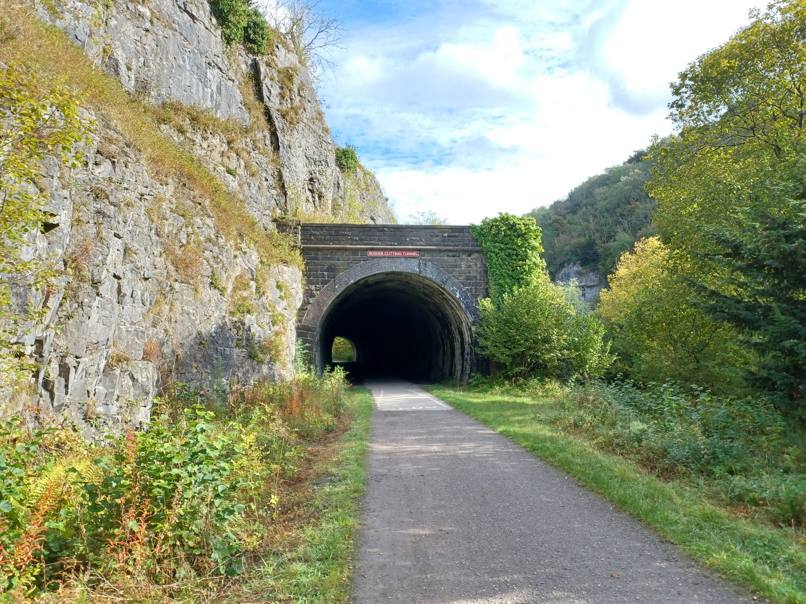
A little further along and I found the third tunnel at Rusher Cutting. This one is also short by Monsal Trail standards, but seems to be built differently to all of the others. The sides of the tunnel are cylindrical, whereas all of the other tunnels have vertical sides that slope slightly outwards to meet the roof. I’m sure there’s an explanation why it’s different, but I haven’t found it.
Just before the end of the trail at Wyedale there’s a fork to the right (onto another disused line that you can see on the 1899 map) that joins the Pennine Bridleway. At Wyedale there’s an end of trail marker, a notice announcing that the cycle hire and refreshment kiosk are closed until spring 2025 and strict instructions not to try to follow the route of the old railway any further.

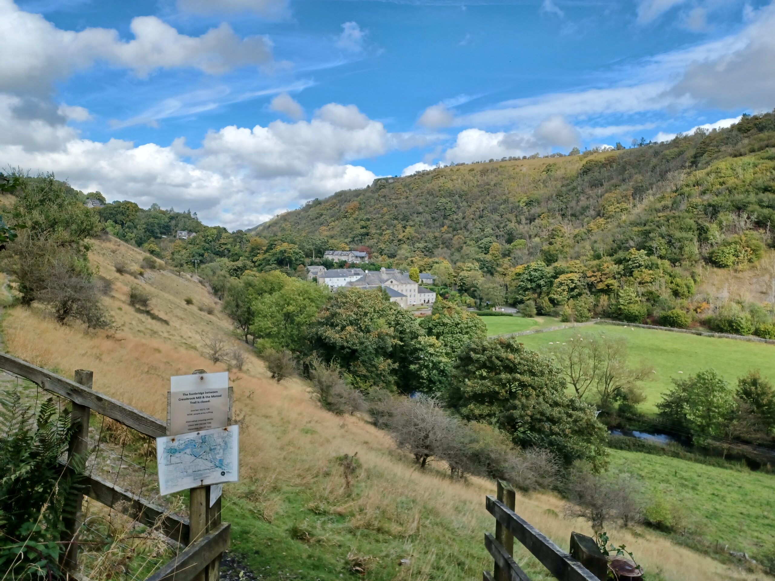
Turning around and retracing my steps to Miller’s Dale I stop for an adequate cup of tea and sausage roll in the cafe. Refreshed, I head East to Monsal Head, passing through two more tunnels (Litton – 471m and Cressbrook – 431m). There are spectacular views along the way where the rivers and streams have carved out valleys in the limestone, with the view towards Arkwright’s Cressbrook Mill being one of the loveliest.
I made it to the viaduct at Monsal Head, admired the view again and headed back to Miller’s Dale. Walk 6 complete – 15.16km, 19,523 steps, 3hours, 12 minutes, 17 seconds.

Really enjoying your walks, Tim. Wish I was closer to join you on one! Keep it up- perhaps you could also add some stats, like what your total mileage is so far/ time walked so far etc