

Yesterday’s walk started at Brierley Forest Park (on the site of the former Sutton Colliery) and took in two of the Phoenix Greenways – the Brierley Branch and Silverhill Trail – en-route to just west of Tibshelf. There’s a visitor centre at the start. From the outside it looked as if it was shut (the glass doors of the main entrance need a really good clean) but once inside there’s a lively and rather good cafe (large bacon cobs at just £3.65 – a bargain).
My first job was to find the start of the trail. While there’s some cursory signage indicating a number of walking routes in the park (and some faded printouts of maps on the dirty windows of the visitor centre), it’s difficult to figure out how to find the Brierley Branch trail. I eventually stumbled across it at the Eastern end of the park.
Yesterday was cold and cloudy and there were few around (in the three hours I spent walking I doubt I saw more than three dozen people), but they were all aware of Holyoake’s Railway Walks Theory. I was called ‘duck’ at least four times, maybe more. It was wonderful.

There’s really not very much to report about the Brierley Branch. It’s a bridleway that passes farmland and a golf course and that’s pretty much it. After a mile or so of walking it meets up with the Silverhill Trail. I turn left towards Tibshelf rather than right to Teversal, as I need to head into Derbyshire.

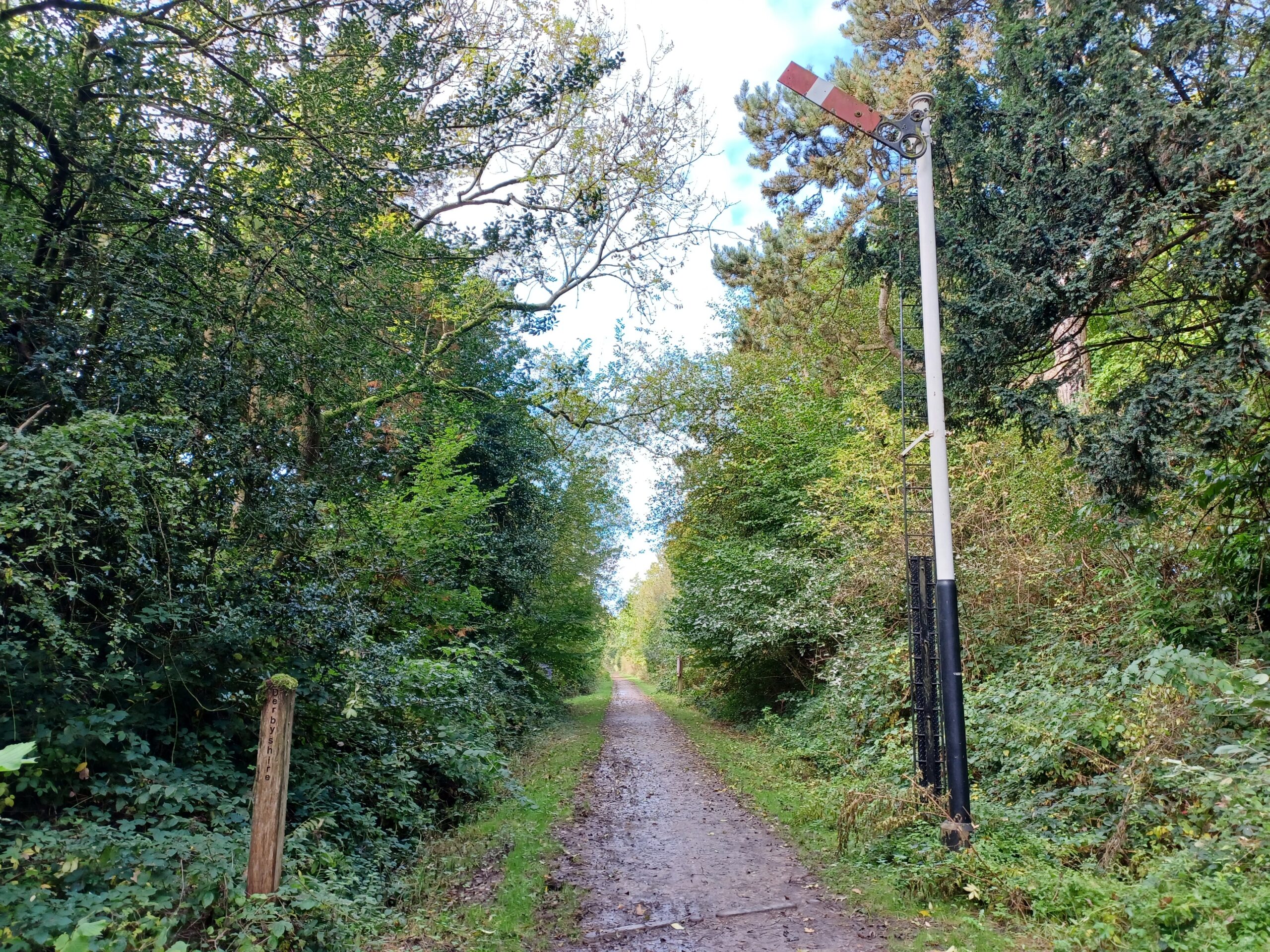
The Nottinghamshire / Derbyshire boundary is at Woodend, marked by an old railway signal and a wooden post.
There’s a concrete tunnel, heavily laden with graffiti, that passes under the M1. This abomination is immediately followed by a spectacular brick viaduct carrying a ‘B’ road across the trail. There are bat boxes high up on the arches.
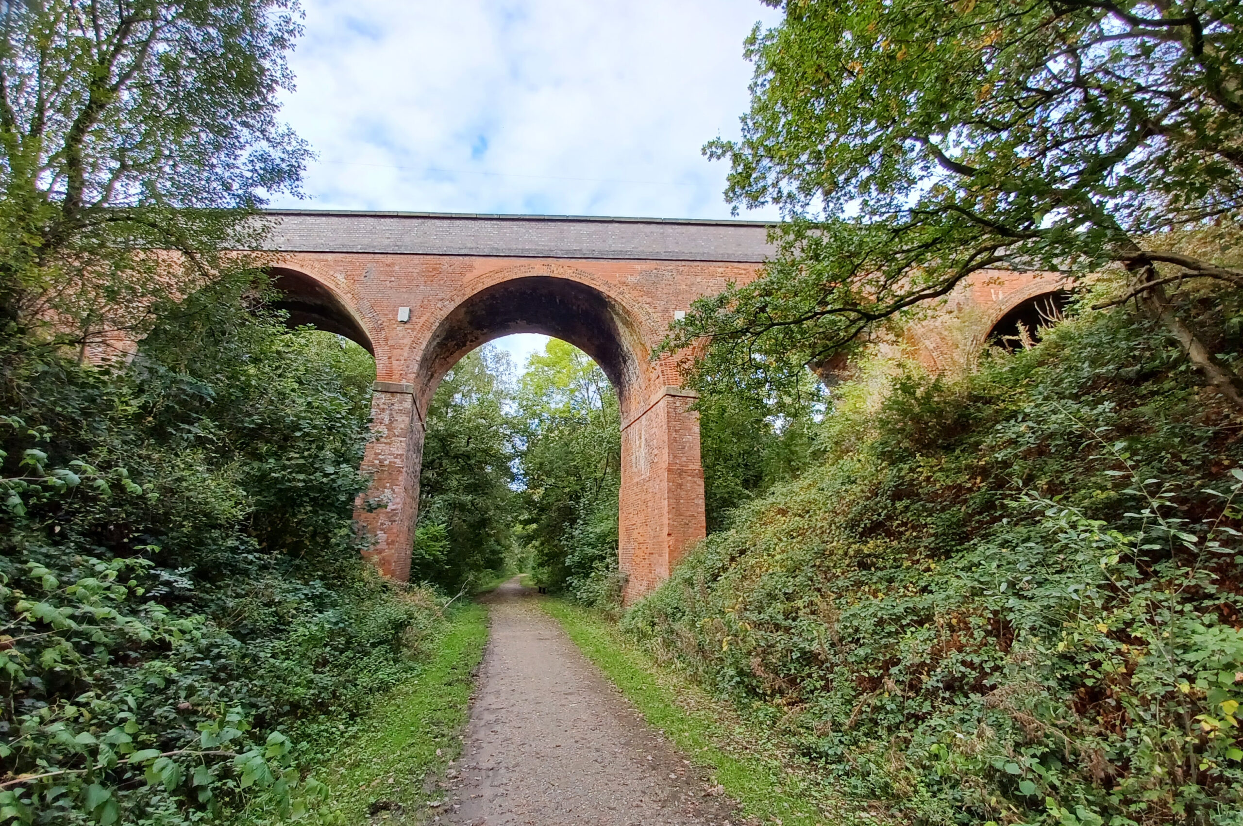
I carried on to the end of the trail. Originally this was a branch line serving the local villages and collieries and it would have met the Midland Mainline a few hundred metres away from where this photograph was taken.

I was expecting notices banning any further progress, but there’s a farm track following parallel to the old railway that takes you almost onto the Midland Mainline. I didn’t explore it though and headed back to my start point.
As I was bored with the Brierley Branch, I followed the footpath up Herrod’s Hill back to the visitor centre. It passes through a golf course – but apart from a groundskeeper mowing the lawns where people with golf bats hit balls there was no-one around.
Driving back through Huthwaite I notice that the town already has Christmas decorations up on the lamposts.
If you enjoyed reading this, please consider making a donation to Lymphoma Action. Thank you for your support!