

‘But,’ he skewed towards the castle, ‘it’s worse in there. There, the map says, the boundary is undefined.’ Alan Garner, Red Shift.
The forecast was for thunderstorms, so it was with some trepidation I set off on my first walk this morning. Fortunately the weather held and I had an enjoyable walk along the Great Northern Greenway. I’d set out to cover just the Eastern end of it, but the weather was pleasant enough (and the route uncrowded, even though one mad lycra-ist nearly crashed into a group containing dogs and a small child) that I covered the whole distance (twice of course – there and back).
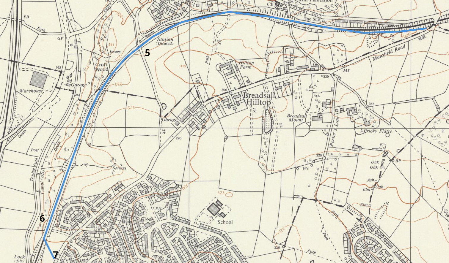
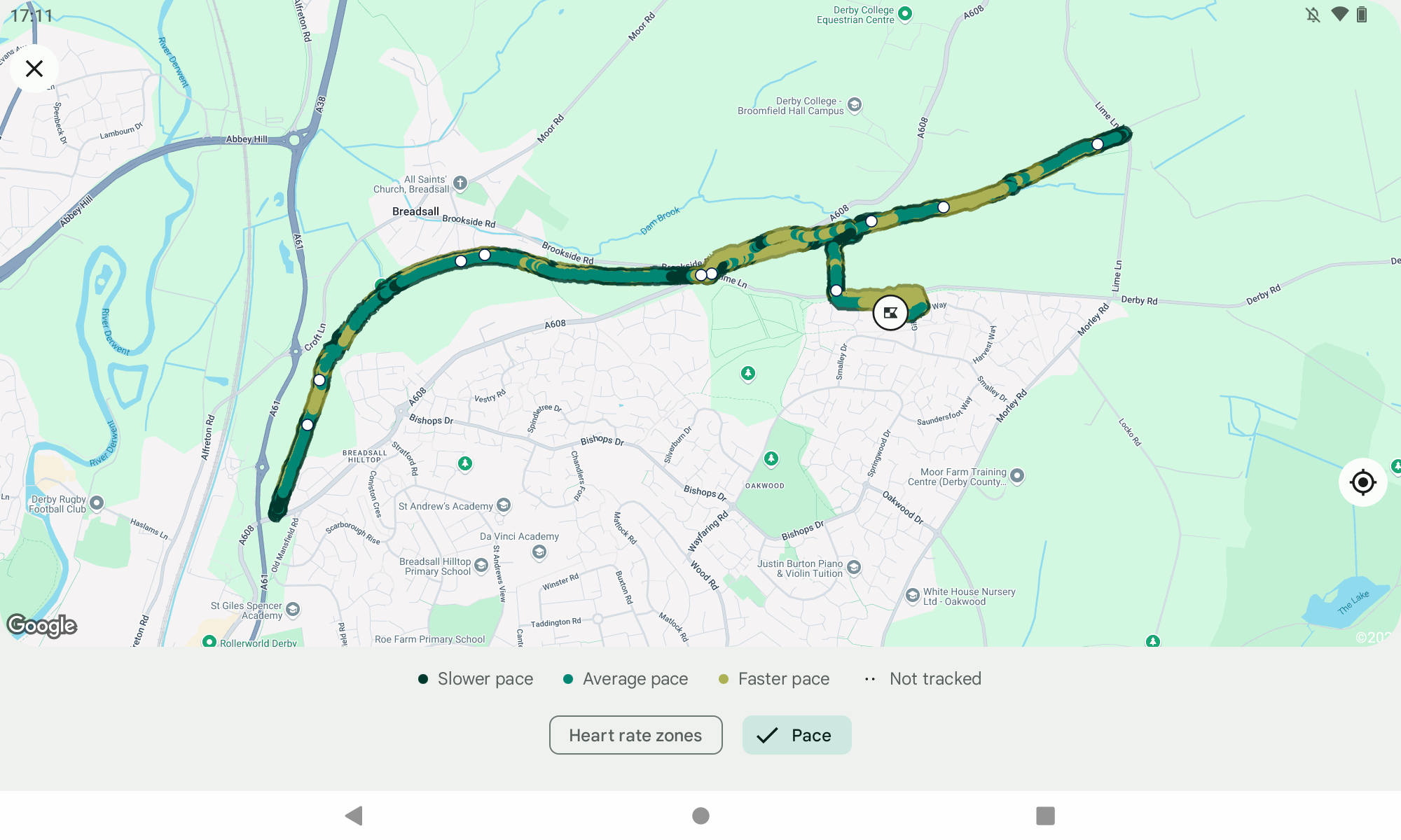
I’ll share my Fitbit map and stats at the end, but I think it’s interesting to look at the route when it was still a railway. The National Library of Scotland has a treasure-trove of old OS maps that have been digitised. I’m using the map published in 1969, which is about a year after the railway finally closed. The route of the Greenway follows the line closely, with the only noticeable deviation at the Eastern end. The tunnel under Lime Lane was filled in long ago, with the cutting leading to it now an impenetrable jungle of trees and brambles.
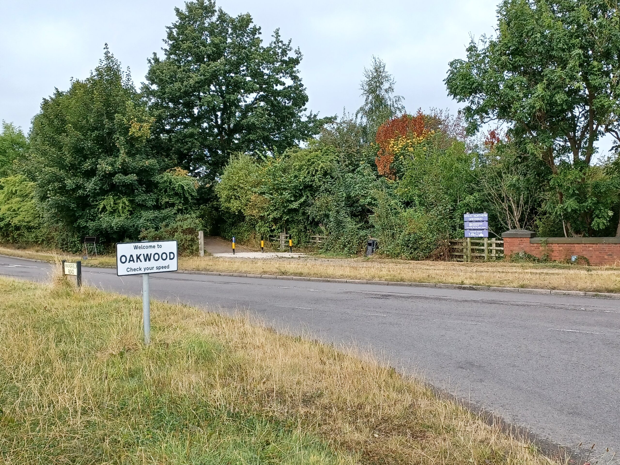
To the walk. I’ll start with the Eastern end of the route first, which I accessed from Oakwood. On the map, this is the open space marked as Chaddesden Common, now one of the largest housing estates in Europe and my home for the last 35 years.
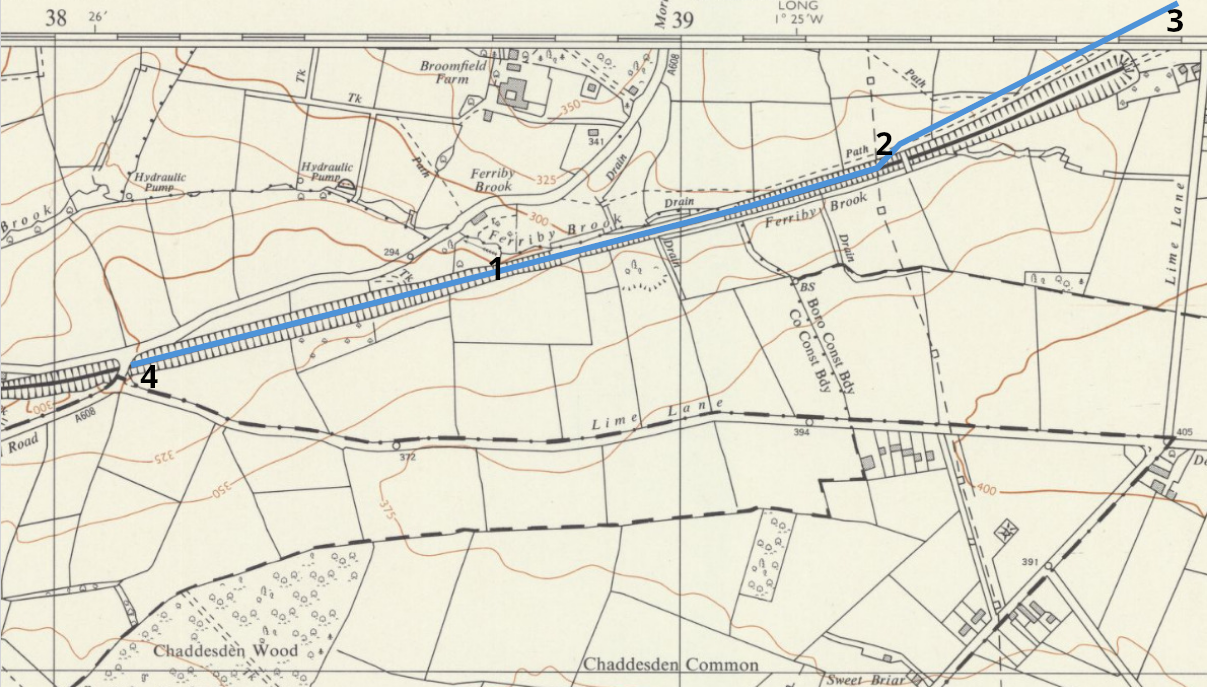
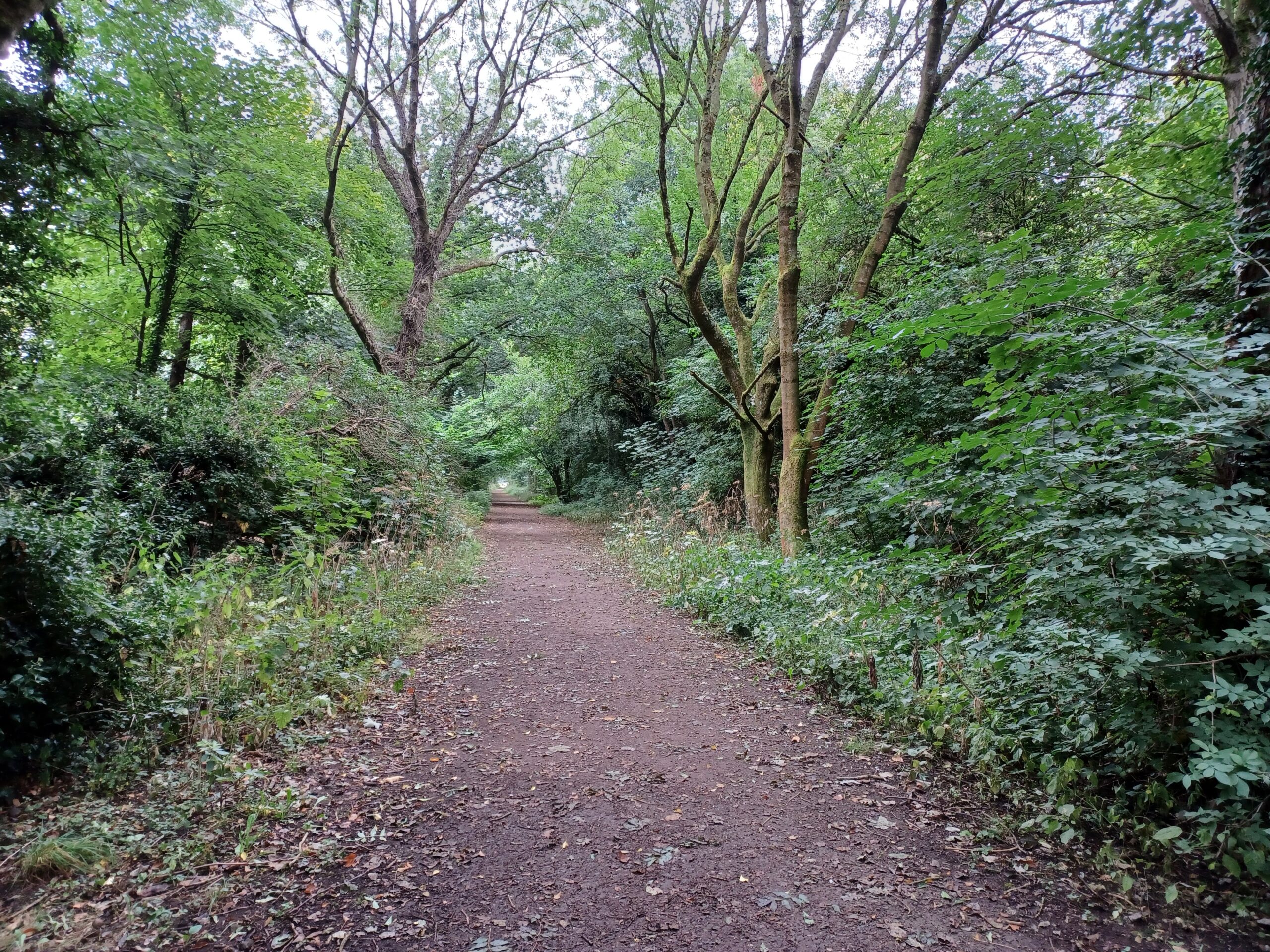
It’s possible to get onto the Greenway at point 1 by crossing the fields on the Northern side of Lime Lane, moving across the boundary from the City to Erewash Borough and the County.
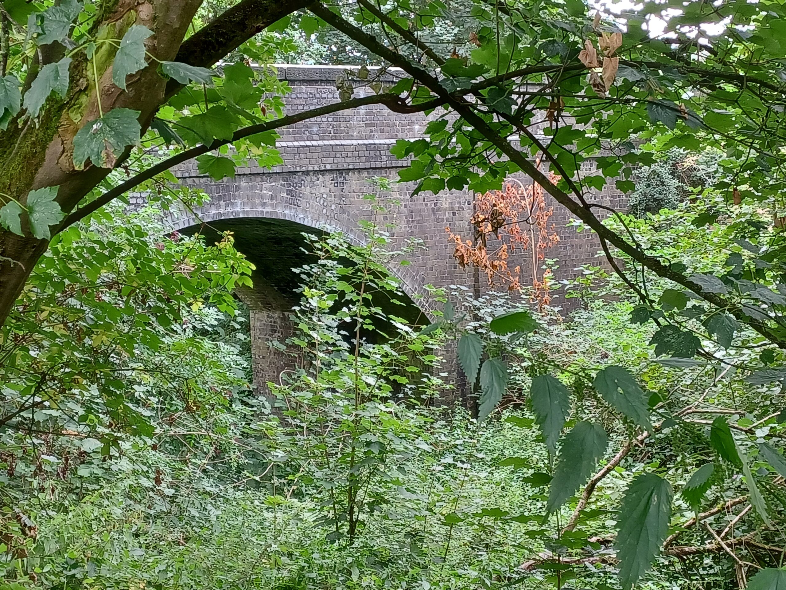
I walk East, towards the bridge across the railway that links a farmer’s fields. Occasionally the gate across the bridge is open and you can peer down into the gloom of the cutting. Today wasn’t one of those days. The barbed wire on the gate makes it clear that casual walkers aren’t welcome.
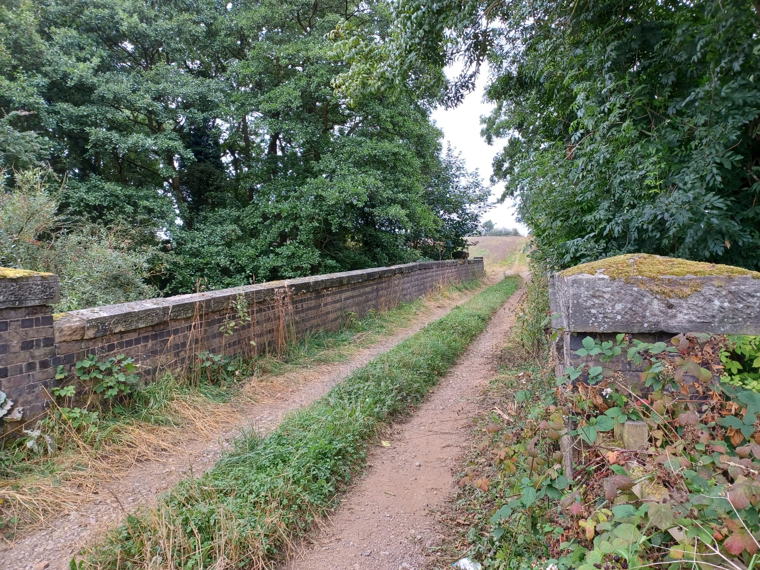
Point 3 on the map is as far East as the Greenway currently goes. A footpath does run alongside the old railway cutting for a few hundred metres on the other side of Lime Lane, before veering sharply away from the route. In 2009 the stated aim was to extend the Greenway to Ilkeston (presumably to meet up with the Bennerley Viaduct), but there’s no sign of this ever happening.

Retracing my steps I make my way back towards Breadsall. The Greenway officially runs along the top of Breadsall cutting. There is a footpath (but not a public right of way) through the cutting, which is a local nature reserve and a site of special scientific interest. I take this footpath and emerge up the embankment at point 4 – the junction between Lime Lane, Mansfield Road and Brookside Road. The road layout has been modified since 1969, resulting in the demolition of the Eastern side of the bridge over the railway, but the Western side still exists. The boundary between City and County seems rather blurred here.
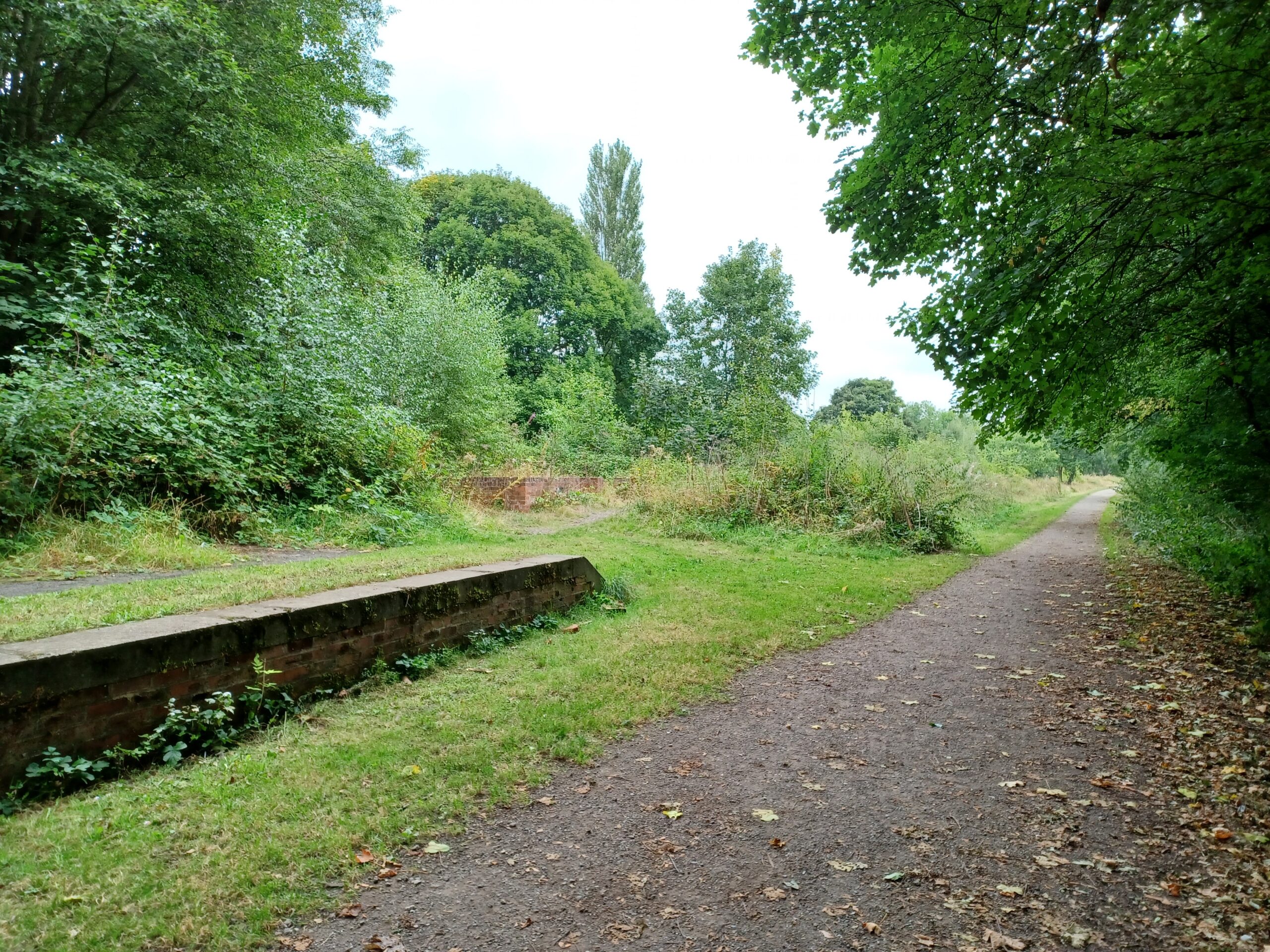
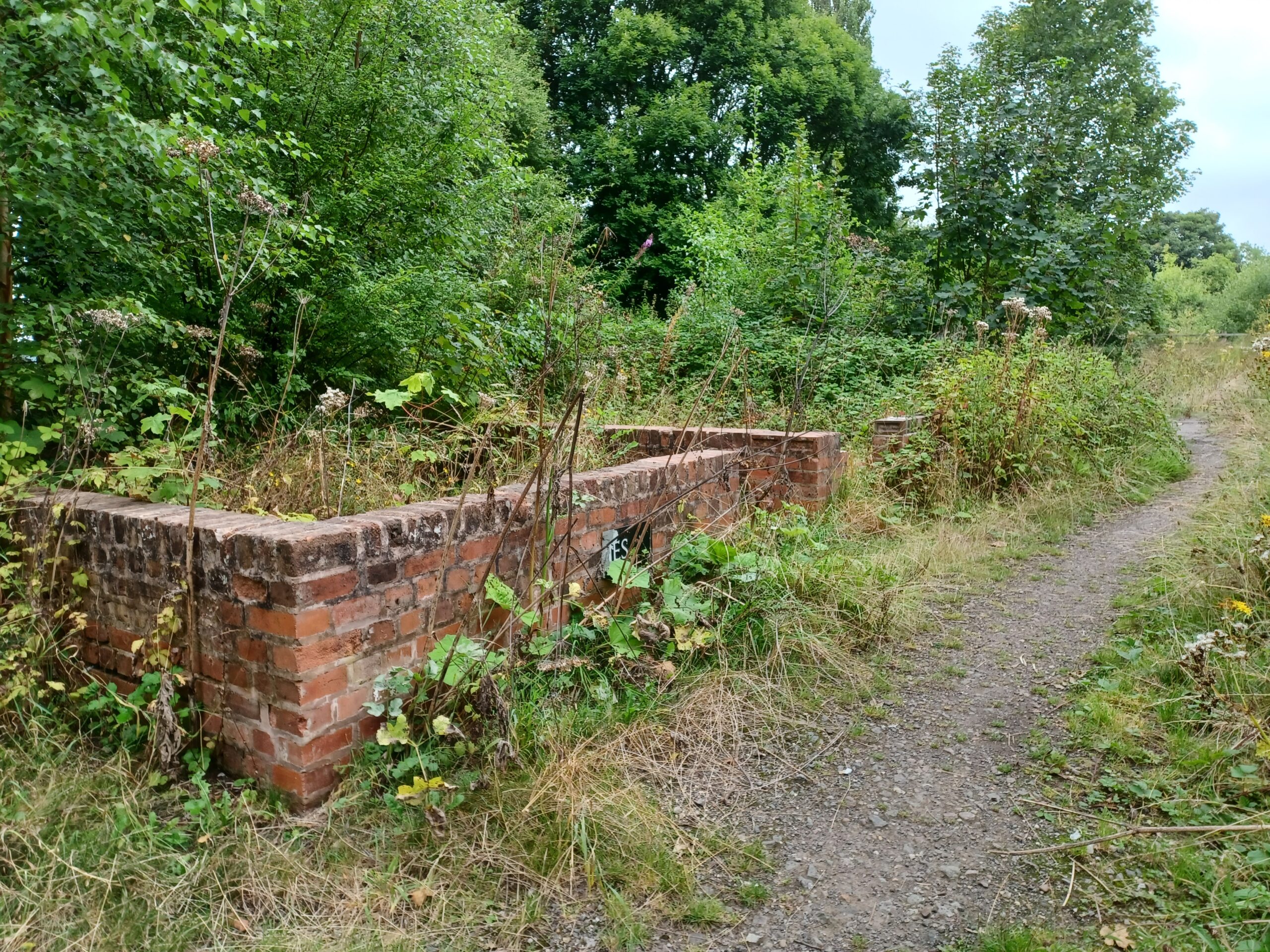
Heading West I arrive at Breadsall Station. It was closed in 1962. The station buildings were rapidly vandalised and subsequently demolished. When the Greenway was opened in 2009, the foundations of these buildings and the platforms were restored. Signage and information boards were put in place around the site. It looked great. Today, nature has reclaimed most of what a new generation of vandals hasn’t already wrecked. You can see a picture of how the station looked in 2015 in my earlier post – the pictures below show what it looks like now.

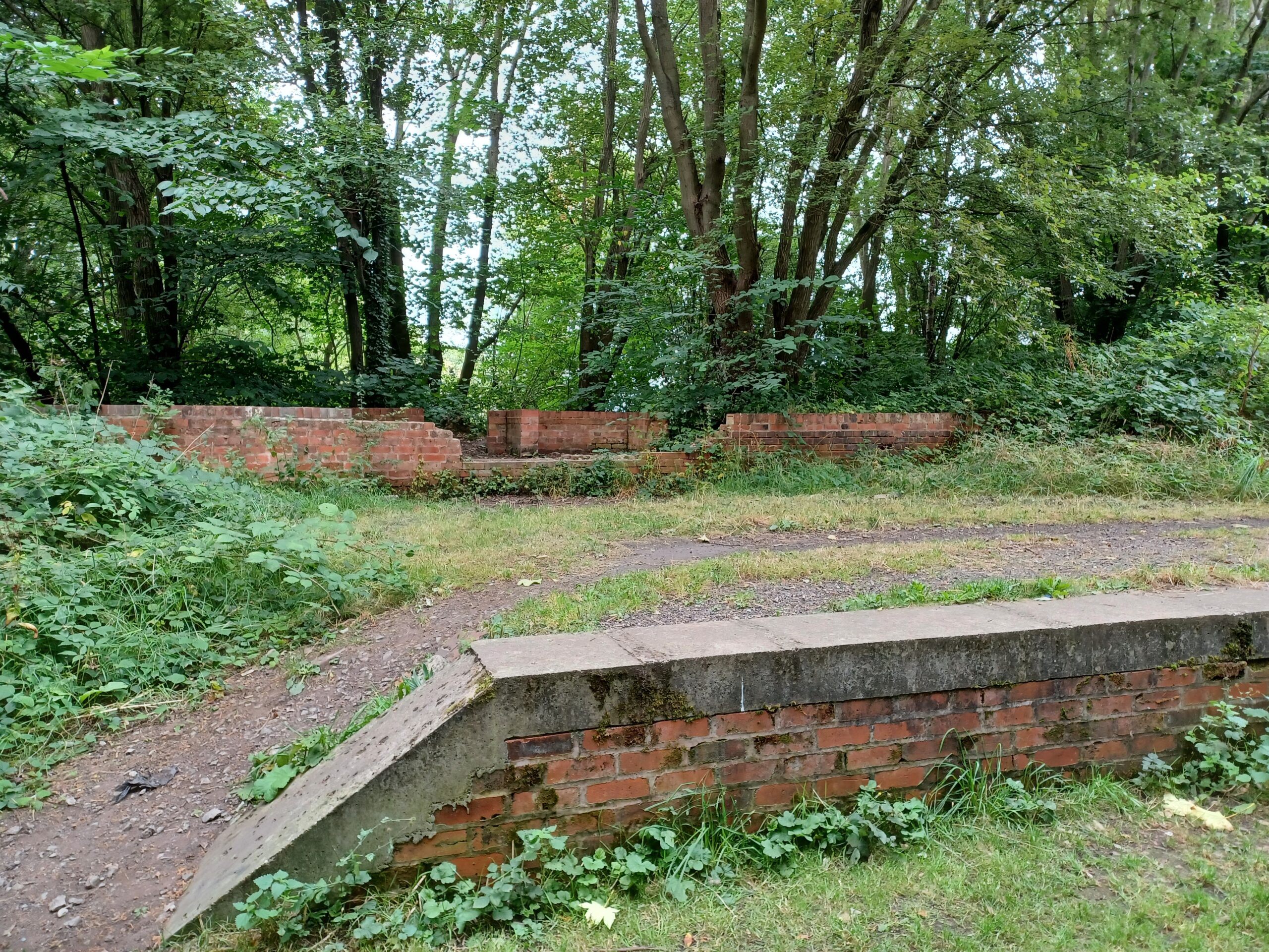
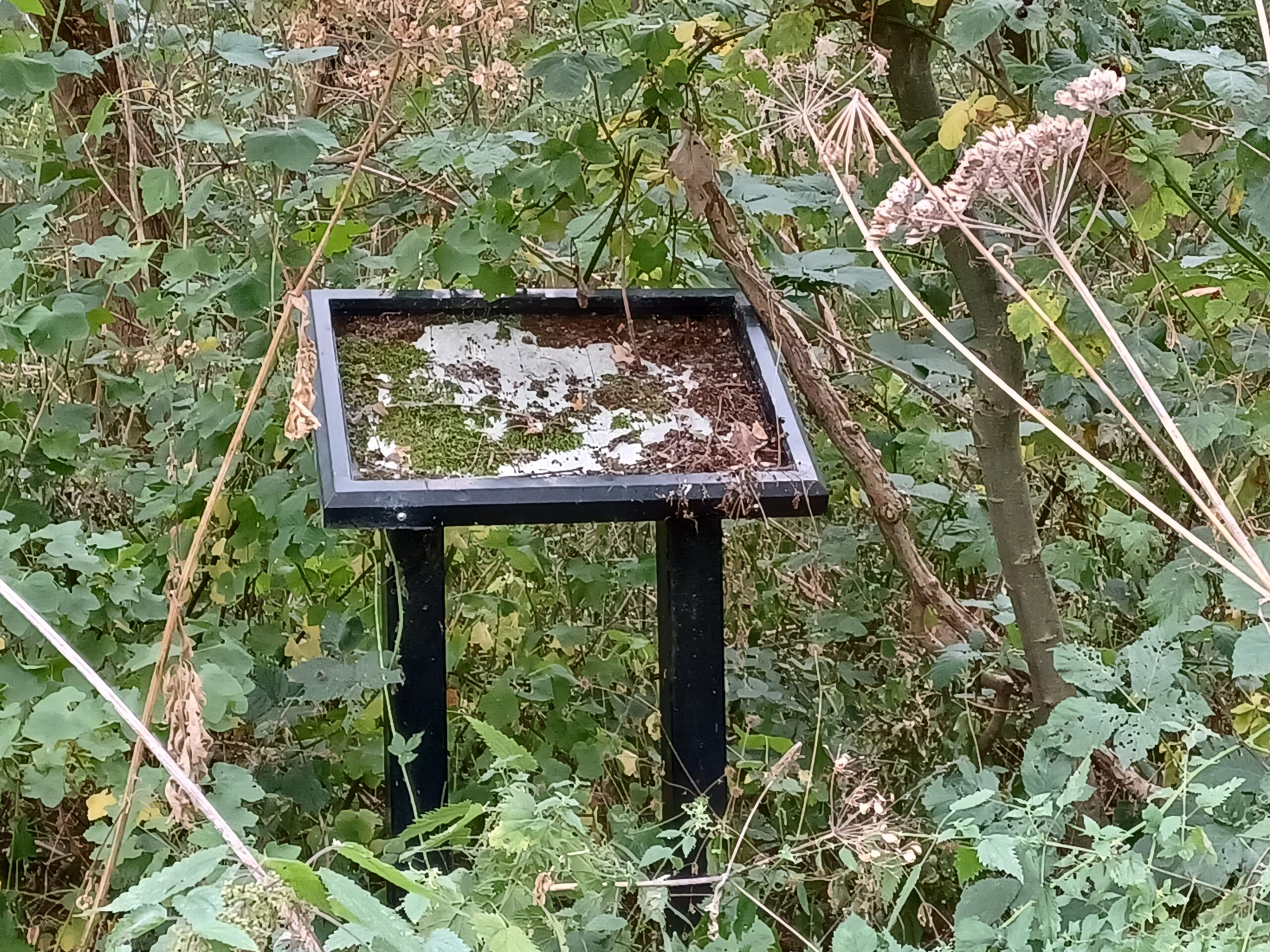

The walk makes a 90 degree turn South, and I cross the boundary back into the City. It’s marked by a purple Derbyshire County Council board, identical to the one by the bridge on Mansfield Road. Just before you get to the Paddock Pub at the end of the route, there’s the remains of a platform that was used for unloading racehorses on their way to the Racecourse Ground. Ten years ago the platform was clearly visible – now you have to hunt for it.

I’m now at Western end of the Greenway. In 1969 the railway continued South over a now demolished viaduct onto Friargate Station and the goods yard a couple of miles away. New roads and a retail park now stand under the site of the viaduct and the site of the Little Eaton branch of the Derby Canal. You can tell this part of the Greenway is in the City, as it still has the original, now rather dilapidated wooden structure that was common along the whole route (instead of the metal posts) when it first opened. Co-operation along the boundary, clear as it is, seems to have broken down.

The brown sign marking the start of the Greenway is hidden in the undergrowth on the right hand side. You can barely see it – it’s definitely no longer visible from the road. It’s as if the City and County are rather embarrassed about the neglect of the former railway infrastructure along route which gave it so much of it’s charm when it opened. And there’s also the absence of the promised route to Ilkeston. But I have really enjoyed my walk nonetheless. Time to retrace my steps and go home.
If you enjoyed reading this, please consider making a donation to Lymphoma Action. Thank you for your support!